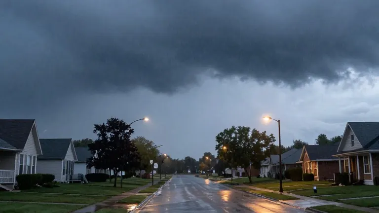
Rain and wind hit before Election Day
A low-pressure system brings 2 to 3 inches of rain and 35 mph gusts to the region by Tuesday.
By Chloe Martin ·

A complex low-pressure system will deliver steady rain and strong winds to the region by the end of the workweek. The weather event begins Sunday night and persists through Tuesday, which is Election Day. This pattern interrupts a period of mild temperatures that characterized the previous weekend.
Rain showers will initially lift in from the southwest on Sunday night and into Monday morning. The heaviest precipitation is scheduled to arrive between mid-morning and late evening on Monday. Meteorologists expect this soaking rain to remain south of Highway 200. Central and southern areas will likely accumulate 2 to 3 inches of rain by Tuesday night. Northern areas will receive less precipitation. Light rain and wraparound showers may linger in northwest Minnesota until Wednesday morning.
Wind conditions will intensify alongside the rainfall. Gusts of 25 to 35 mph are expected between Monday and Tuesday. These winds will drag cooler air into the region on Tuesday. Consequently, temperatures will drop from the 50s on Monday to the 40s on Tuesday. Monday is projected to be the warmest day of the week, with highs near 58 degrees. Tuesday highs will sit near 48 degrees.
The weather maker will influence conditions on Election Day. Scattered showers and wind are forecast for Tuesday. Low temperatures will reach 44 degrees, while highs will top out at 48 degrees. The system will push out of the region after Tuesday. Partly to mostly cloudy skies will dominate the rest of the week. Dry, rain-free weather is expected from Wednesday onward.
Temperatures will settle into a seasonably cool range for the latter half of the week. Lows will dip into the 30s, with highs in the 40s. By the following weekend, some areas may see temperatures return to the 50s. The first week of November will start with active weather and transition to a calmer pattern.
Sunday night will feature cloudy skies and overnight rain. Southeast winds will blow at 10 to 20 mph with gusts to 25. The low temperature will be 54 degrees. Monday will see likely rain and wind from the east at 15 to 25 mph, with gusts over 30 mph. Wednesday will remain mostly cloudy with a few morning showers and breezy conditions. Lows will fall to 39 degrees, and highs will reach 51 degrees.
Source: KVLY-TV